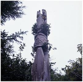
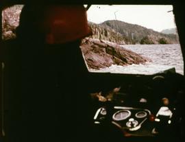
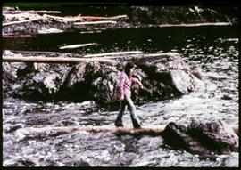
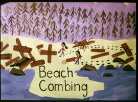
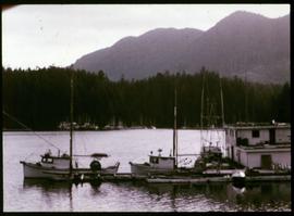
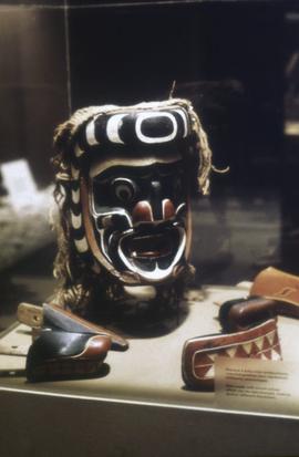
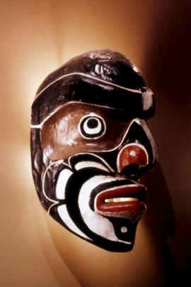
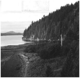
In 1976, a group of students from the Kyuquot Elementary, a First Nations elementary school on the West coast of Vancouver Island, decided to make a filmstrip that documented their lives in the fishing village. The children’s intention behind making these photographs was to raise money for a summer field trip to Victoria, Vancouver, and the Okanagan. As part of the fundraiser, the children made a visual map depicting their daily travel to school by boat and a hand-written order form for the film. Collection consists of documents created by the Kyuquot Elementary School and Mr. Moore, a former Assistant Professor of Anthropology in the 1970s. The collection consists of one correspondence letter written by Mr. Moore requesting a copy of their filmstrip, four pages of typewritten filmstrip descriptions, one handwritten map and flyer created by the Kyuquot Elementary School and one 70 frame color filmstrip that was digitized in 2017. [At the time of processing, it was unknown if the fundraiser was successful.]


![Mrs. Wilson ([Nuu-chah-nulth] basket weaver) and Able John, Gold River](/uploads/r/null/a/b/6/ab633a80b9c1970be8cda76ff47ec30c6ff8f38435b3ed4b62848f4e8587ae75/a038171c_142.jpg)
![Mrs. Wilson ([Nuu-chah-nulth] basket weaver) and Able John, Gold River](/uploads/r/null/d/3/2/d326768ef9a62f7332f2dae816ad683f50719618c4fe194af5f70d3c88565ee4/a038172c_142.jpg)
